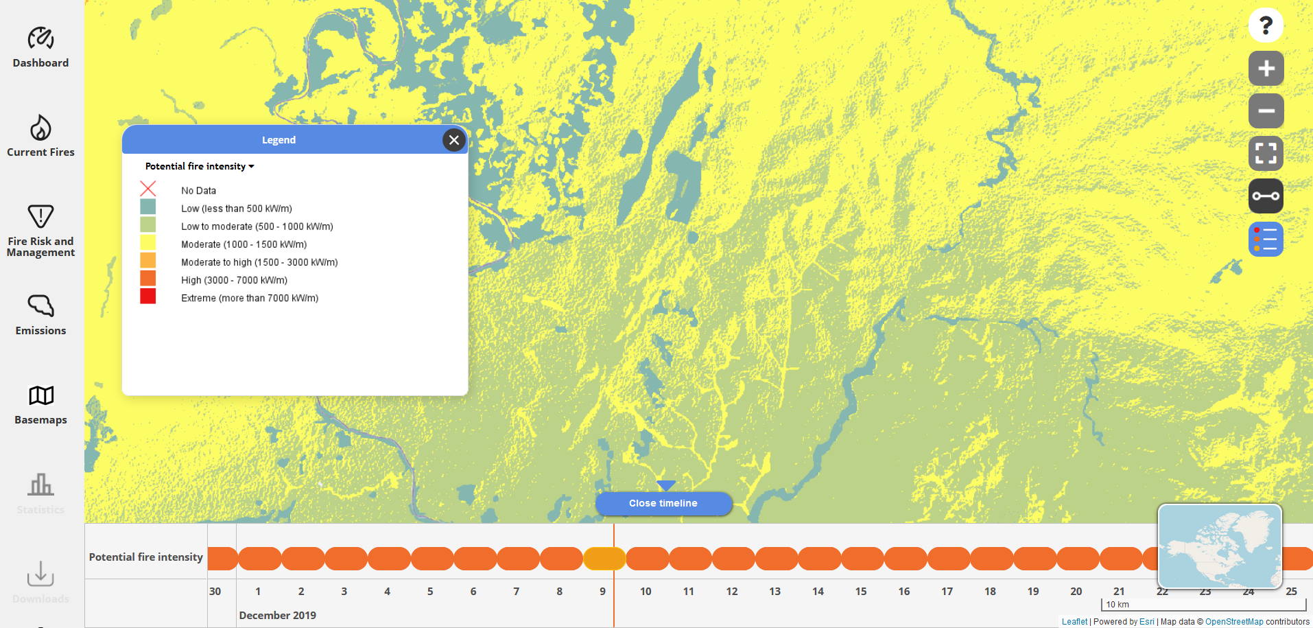
Potential fire behaviour indicates how a fire would evolve under certain conditions determined by weather, terrain and fuel type in case there is a sustained ignition. Potential fire behaviour provides more comprehensive information on how dangerous a fire can become than a fire weather index as it also includes the type of vegetation and the terrain characteristics at each site.
What is Potential Fire Behaviour used for?
Potential Fire Behaviour can be used for a variety of purposes such as:
- Planning of staffing and alert levels
- Identify areas with dangerous potential fire behaviour and plan fuel reduction measures
- Planning of prescribed burns for fuel management
- Assessment of general risk exposure e.g. for insurance premiums.
- Analysis of Potential Fire Behavior is part of integrated threat analysis used to prioritize management ressources.
How is potential fire behaviour implemented at firemaps.net?
At firemaps.net, we usually calculate potential fire behaviour daily for a 3 pm situation, which is when fire activity in many locations is highest. Potential fire behaviour is calculated based on weather forecast data, fuel information and terrain for four days in advance. We use a fire behaviour model that is adapted to local conditions. The original model has initially been developed in Canada but is now widely used worldwide. By default, potential fire intensity is displayed on the map, color coded to indicate low to high potential fire intensity.
For integrated threat analysis, longer time series of climate data are used to identify high risk areas. This approach can also integrate projections of climate change.
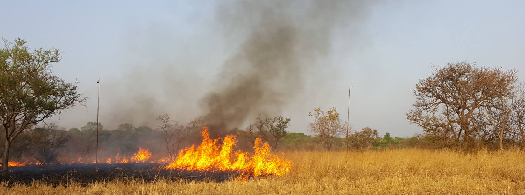
We also field-test our fire intensity models to check their validity on the ground. Below you see an image of a field test in a savanna landscape using radiometers to measure the heat release and characterize the fire from 6 m high poles.

