firemaps.net at the 8th INTERNATIONAL WILDLAND FIRE CONFERENCE in Porto
The INTERNATIONAL WILDLAND FIRE CONFERENCE (external link), a series of conferences aimed at promoting exchange of expertise and international cooperation in wildland fire management, is held in Porto. This year’s conference puts a special focus on integrated fire...
Fire intensity – why we need to get it right, and what we can see from space
A Sentinel 2 false colour image of fire fronts, burned areas and unburned vegetation in Comoé National Park, Côte d’Ivoire. Overlaid red dots are VIIRS fire detections a few hours after the Sentinel-2 overpass. Click to enlarge. Fire intensity is undisputedly...
firemaps.net app released soon
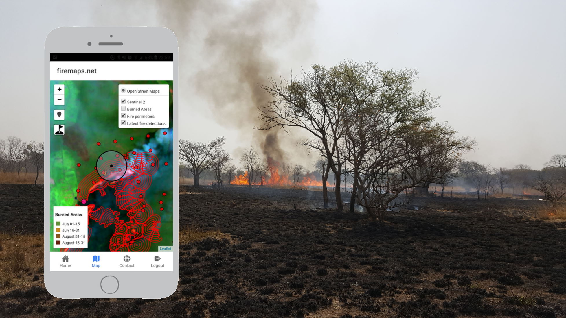
Fires happen outside. This is why you’ll want to take current fire information with you to manage fires, check burned areas and stay safe. The firemaps.net mobile app lets you take firemaps to the field. Configurable mobile content can include latest satellite...
Monitor and reduce greenhouse gas emissions from fires – new whitepaper
Managing and reducing emissons from controlled burns and wildfires is an increasingly important objective in fire management. Emissions from fires influence the global climate and affect the environment and human health. Projects aiming at reducing emissions may...
firemaps.net wins the Copernicus Masters DLR Environment and Health Challenge
Yesterday, we have been awarded the prestigious Copernicus Masters DLR Environment and Health Challenge Price! The award ceremony took place during the European Space Week in Tallinn, Estonia. This is what jury member Dr. Doris Klein (scientific coordinator of the DLR...
firemaps.net at the 37th International Symposium for Remote Sensing of Environment
Discover firemaps.net at the 37th International Symposium for Remote Sensing of Envrionment (ISRSE) in South Africa. The 37th edition of ISRSE will convene in Tshwane, South Africa 8 to 12 May 2017. The theme is “Earth Observation for Development and Adaptation to a...
A story map of the Fort McMurray fire disaster
Story maps are a way of telling a story with the help of maps. Here is one on the FortMcMurray fire disaster, which has been classified as one of the costliest natural disasters to strike Cananda. Go to the map...
fires in the news – Spain, summer 2016
While Spain is experiencing a record tourist season in 2016, it is also suffering a record year in forest and bush fires. And these make it to the (international) news more easily, when tourists and fires come together, as has happened in the Spanish province of...
what firemaps.net is about
firemaps.net provides you with fire monitoring information from space. We support fire management planning through information on burned area, fuel consumption, biomass burned and emissions of greenhouse gases and other smoke constituents, as well as on the timing of...