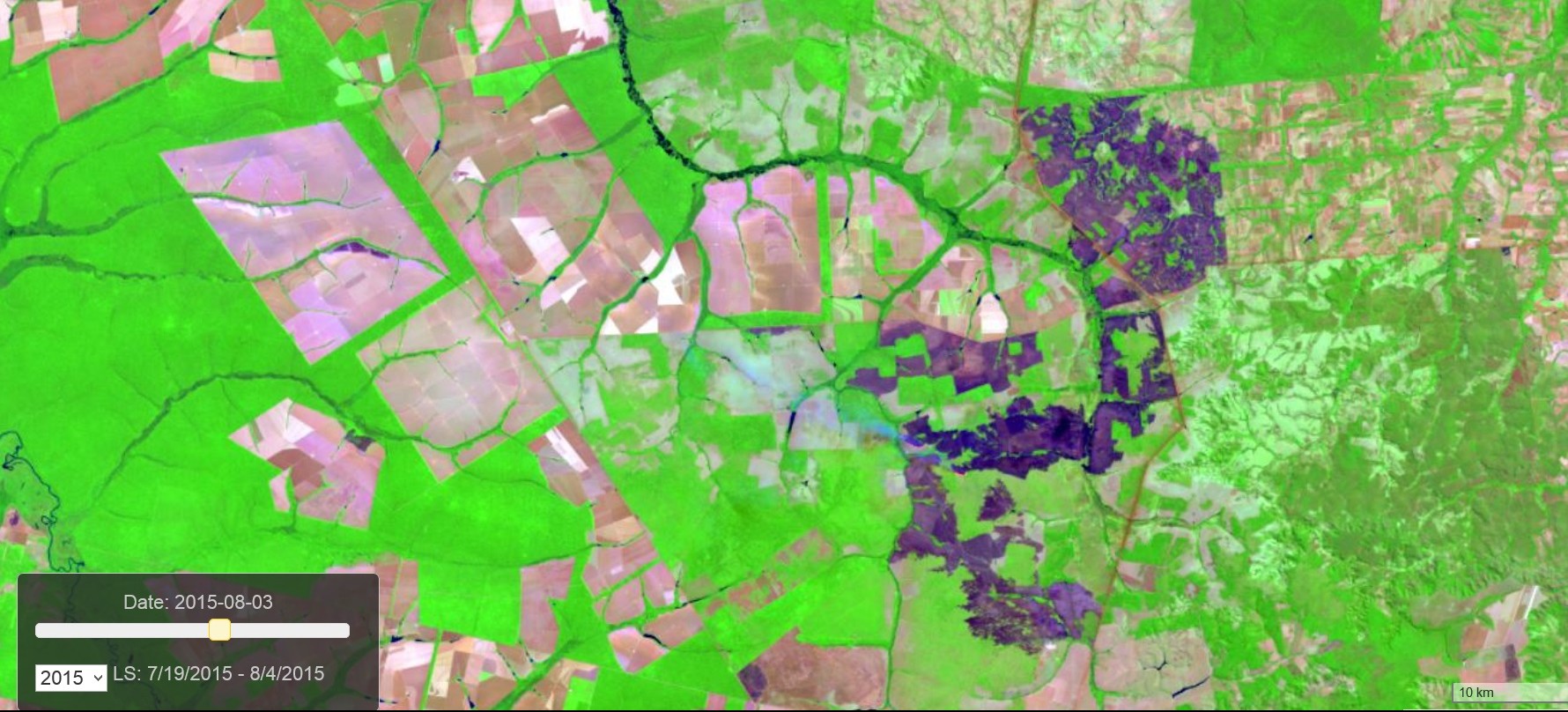
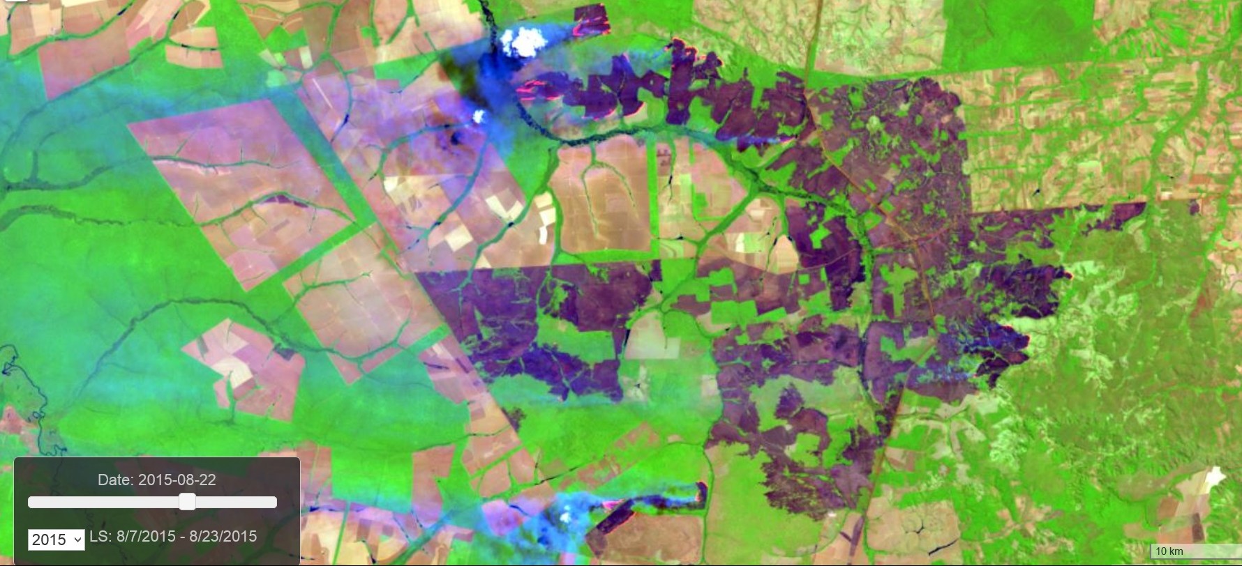
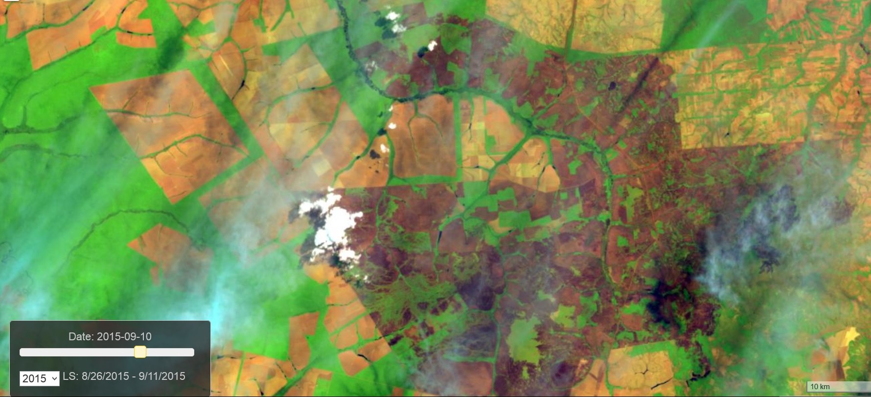
Modern fire management is a multidisciplinary science, technology and … art. Fire managers need build their decisions on a wide range of science backgrounds such as physics, ecology, economics, social sciences, and more. Wrong decisions may have detrimental outcomes. Hence, fire managers need to have access to up-to date, accurate and reliable information products when they need them.
firemaps.net was built to serve professionals on all levels of fire management from rangers on the ground up to policy makers.
firemaps.net leverages the latest advances of satellite remote sensing, geospatial technologies and cloud computing while building on over twenty years of experience in fire and forestry projects in Europe, Africa, Asia and South America.
firemaps.net is operated by ZEBRIS Geo-IT GmbH, a German consulting and geospatial enterprise based in Munich, Germany with a long-standing experience in supporting sound natural resource management with geospatial technologies, specializing in forestry, fire and protection of water resources.
Development of firemaps.net has been supported by the regional government of Bavaria and the Government of Germany through research and development grants, and through numerous client projects.


