firemaps.net provides online fire modelling to support fire managers. Fire models help to understand and forecast fire spread.
Usage of fire spread models
Some practical applictions for fire behavior modelling are:
- Forecasting fire spread: based on forecast weather data, fire spread can be modelled for hours in advance to aid operational decision support
- Hindsight analysis to understand past fire behaviour better or for forensic analysis
- Planning of prescribed burns
- Training and what-if scenarios: support fire management training to better understand fire behavior or to investigate different scenarios.
How is fire modelling done in firemaps.net?
The firemaps.net fire behaviour model uses a fuel type map, a terrain map and weather forecast data to estimate fire spread and fire intensity. The current version of the model takes real fire fronts extracted from satellite images (mainly Sentinel 2) as an input and automatically gathers all required data to provide a nine hours prediction of a fire’s spread and intensity. Our fire model ist based on the Canadian Prometheus model. Fuel types, weather data, terrain data and information in ignition is generated and processed automatically in firemaps.net and results displayed online or in the mobile app.
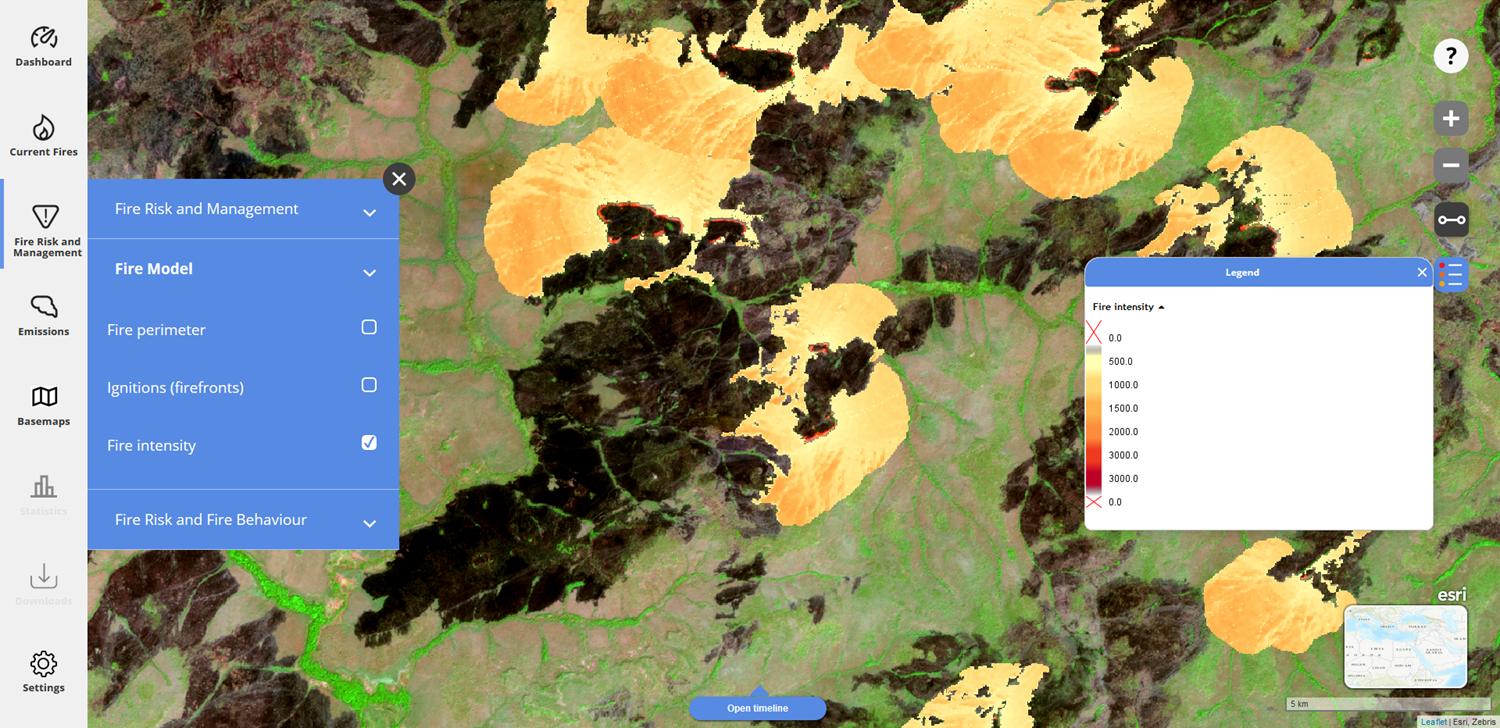
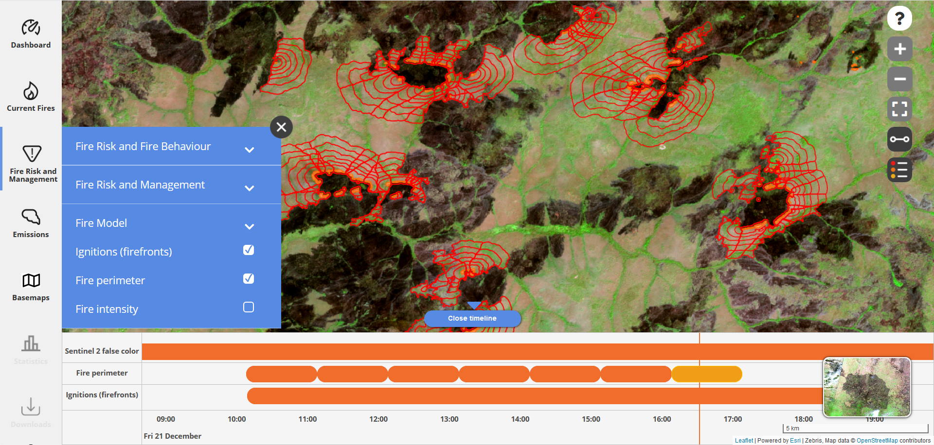
Similar to other dynamic firemaps.net layers, the fire model data can be queried using our timeline tool. The current mode of operation is driven by satellite data. A user driven mode is planned for a future release. The top images shows the modelled fire intensity output. The bottom images shows the modelled hourly fire perimeters with the timeslider tool.

