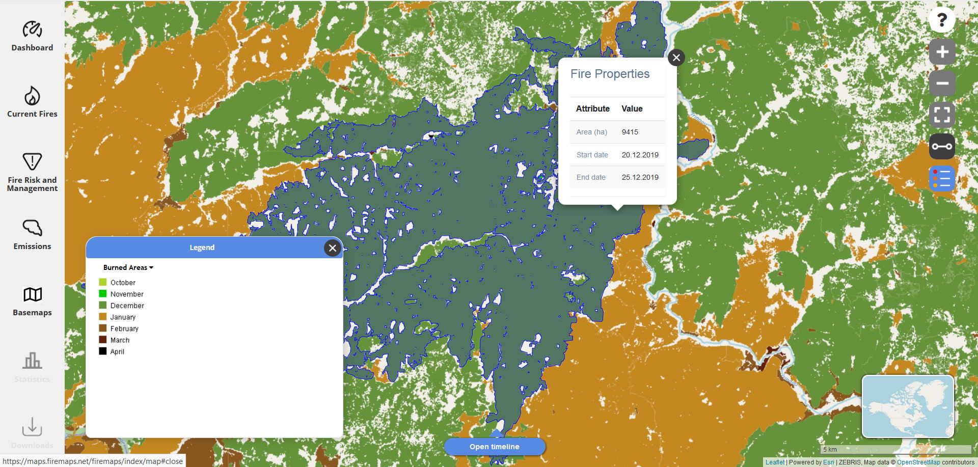
Burned area mapping is at the core of fire monitoring. Our main source of information on burned areas is the European Sentinel 2 satellite. In case additional imagery is needed, we also use data from Landsat. If required, our live burned area maps are updated every five days.
Usage of burned area maps
Every fire manager wants to know what burned, how much burned, and when it burned. This information is the basis for many activities like damage assessment, assessment of prescribed fires, restoration planning, estimation of emissions, and more. However, mapping burned areas at high spatial resolution is not trivial. Therefore, many agencies and other users of fire information rely on either coarse resolution global products and fire “hotspots” as a proxy. To take away the load of burned area processing and mapping from users, firemaps.net offers burned area as a service. Thus, fire managers and everybody else who needs timely access to burned area maps has access to burned area data as they become available.
How does firemaps.net map burned areas?
Burned areas are well identified by the detection of ash on the surface. This ash signal is strongly observed in the short-wave infrared wavelengths (this is a part of the light that is not visible to the human eye). These wavelengths have the additional advantage that they are not as strongly affected by smoke as is the light that humans can see. Our algorithms detects both surface changes indicating fire occurrance between satellite overpasses and the strong ash signal of freshly burned areas. New satellite images are downloaded to our servers as they become available, processed in an automated workflow and uploaded to the firemaps.net web interface within hours of image acquisition.
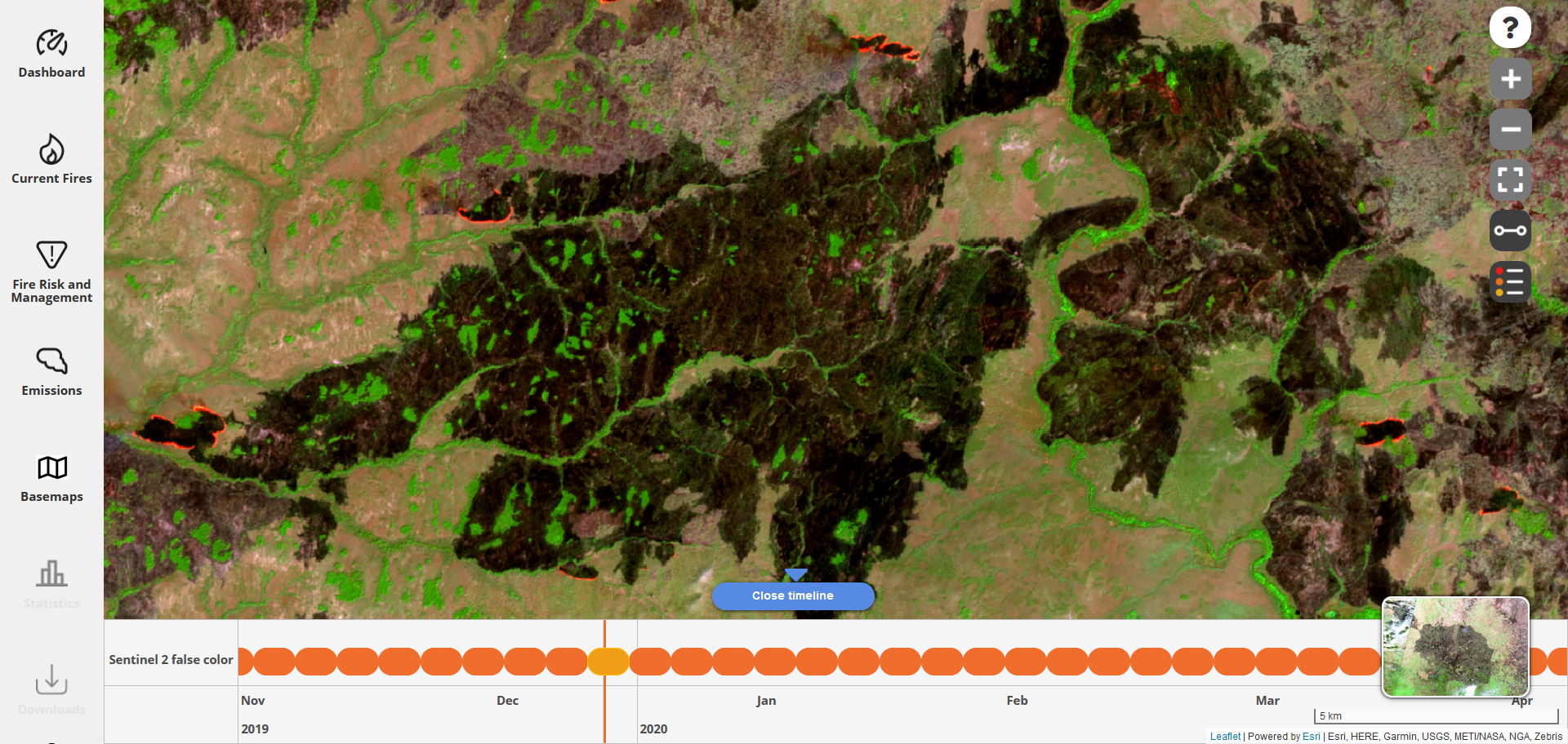
So-called “false color” images are useful to identify burned areas and active fire fronts in Sentinel 2 satellite images. We therefore provide such images in firemaps.net for every Sentinel 2 overpass. After a bit of training, this images are very helpful to understand fire processes in the landscape and also to check the burned area maps.
Using the firemaps.net app, both burned area maps and satellite images will be available for you to take out to the field.

